
"Underground Space" Rights Confirmation on the Horizon: What Can GridWorld’s 3D Modeling Do?
2026-07-22Foreword
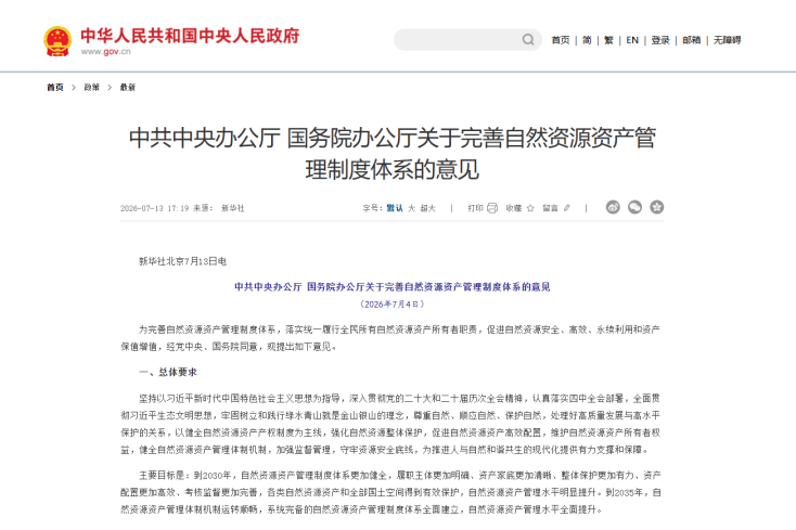
Recently, the General Office of the Communist Party of China Central Committee and the General Office of the State Council issued theOpinions on Improving the Natural Resource Asset Management System. This foundational document clearly states that by 2030, the natural resource asset management system will be further improved, with a clearer inventory of assets and stronger overall protection. Centered on the management chain of "what exists—how much it is worth—who manages it—how to manage and protect it," theOpinions make systematic arrangements from aspects such as taking stock of resources, improving property rights, and strengthening protection. For GridWorld, a company deeply engaged in 3D geological modeling and geoscience simulation, this represents both a mission of the times and a new stage for technology empowerment.
"Taking Stock of Resources" Starts with Digitizing Underground Space
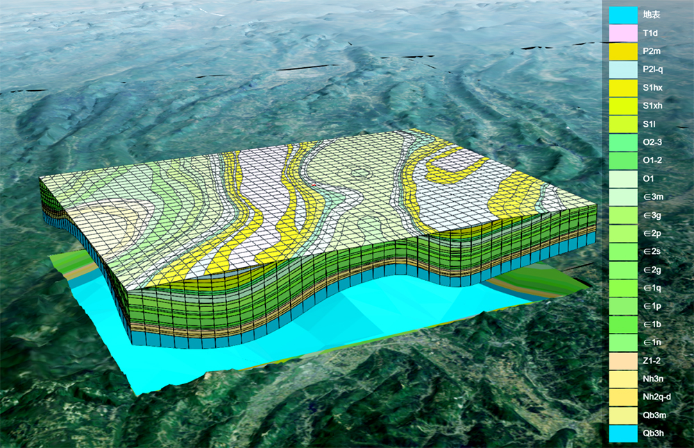
TheOpinions propose improving the unified survey, monitoring, asset inventory, and accounting system for natural resources, building "one map" for national spatial planning based on a unified spatiotemporal datum, and clarifying the physical quantity and value of resources. Addressing the pain points of scattered underground geological information and the difficulty of intuitively managing underground space, GridWorld's self-developed Deep Exploration Geoscience Modeling Software integrates multi-source data including geology, boreholes, and remote sensing to construct high-precision 3D geological models. It establishes dynamic, three-dimensional digital ledgers for land, minerals, and underground space, enabling visualized and quantifiable management of national land resources.
Under "One Map," Property Rights Attribution Becomes Clearer
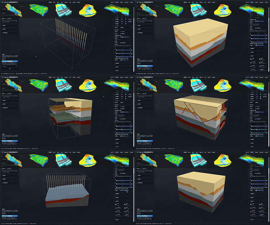
TheOpinions call for improving the rights system for usufructuary rights over natural resource assets, and exploring the separate establishment of the right to use construction land for deep underground space. This means that in the future, the ownership demarcation of underground space will become more refined. Leveraging its self-developed tEgg generative geological large model, GridWorld connects the technical chain of AI intelligent analysis and 3D geological modeling, creating an integrated digital-intelligent foundation of "AI geological large model + 3D spatial modeling." This technical system can automatically interpret massive geological survey data, intelligently generate stratum boundaries, and efficiently output 3D spatial coordinates, providing refined 3D spatial positioning and ownership boundary demarcation capabilities for natural resource right confirmation and registration—ensuring that the confirmation of "underground space use rights" has evidence to rely on and maps to consult.
From "Passive Management" to "Active Protection"
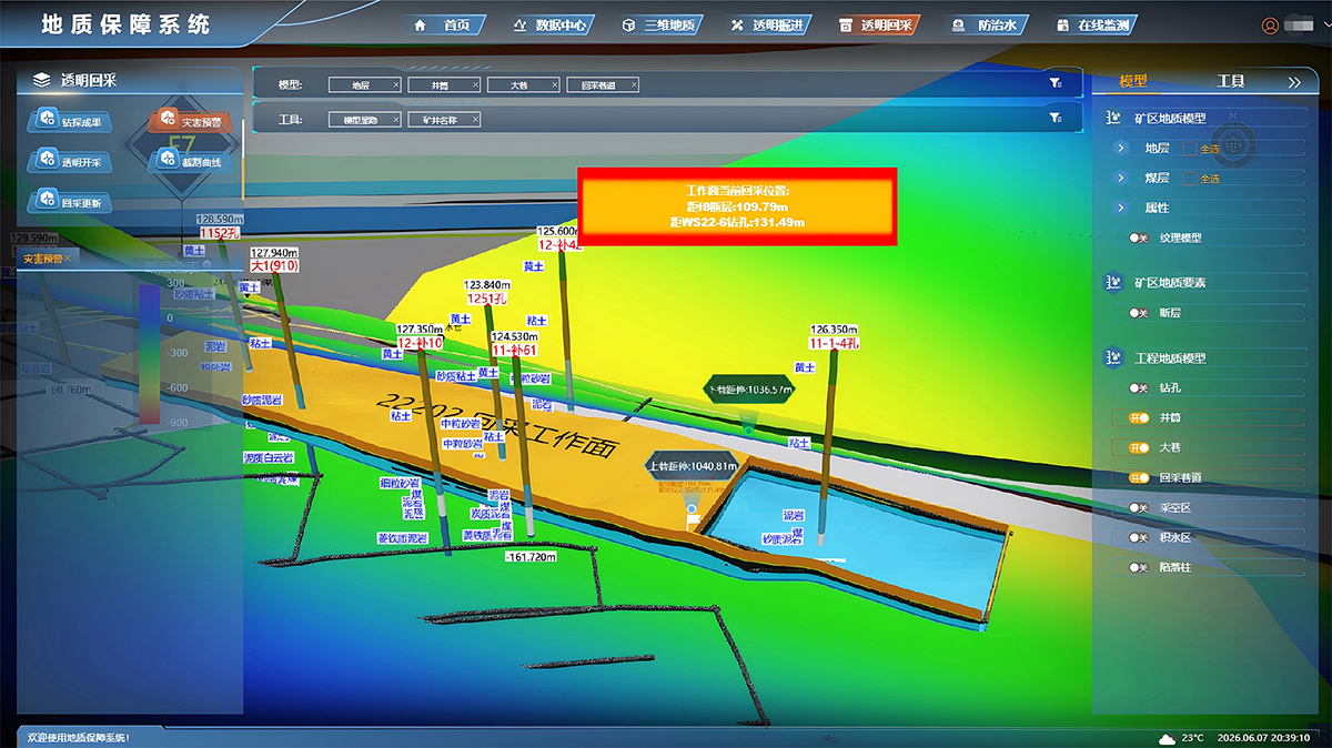
In terms of strengthening the overall protection of natural resources, theOpinions require establishing a natural resource asset management indicator system to promote the preservation and appreciation of asset value. In response to this requirement, GridWorld's Transparent Earth Engine presents complex geological and engineering information uniformly on decision-making platforms through 3D visualization technology. Combined with the intelligent research and judgment capabilities of the tEgg generative geological large model, it can automatically analyze stratum evolution, resource distribution, and geological risks, providing full-process digital means for intelligent supervision of mineral resources and early warning and prevention of geological disasters—this is precisely the technical support for the transition from "passive response" to "active protection."
From "one map underground" to "one ledger above ground," GridWorld is deeply integrating itself into the grand process of national natural resource asset management system reform with its independently controllable 3D geological modeling and geoscience simulation technologies. Making underground space transparent and resource assets digital—this is not only the direction of policy, but also GridWorld's technical original aspiration and forward direction cultivated through years of dedicated work.