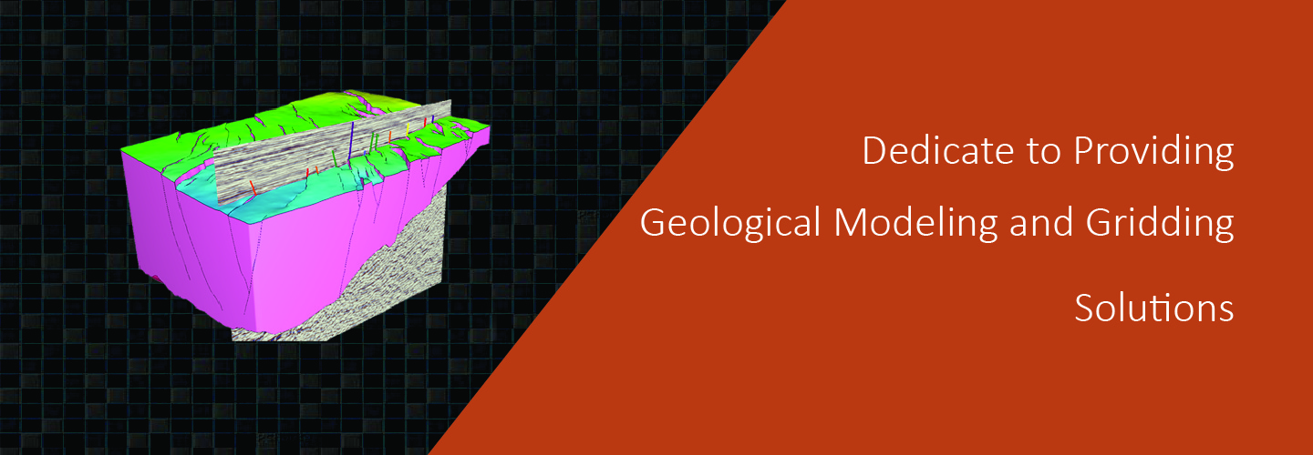


Geological information has long been confined to paper maps and reports, making it difficult to grasp the full picture of the subsurface.

a completely new approach to the science of 3D grid generation and model description solves major weaknesses still inherent in even the most current geomodeling technologies commonly used today.
construct grids of any size and type.No limits.
automation speeds the creation of workflows and results.
much easier to construct accurate representations of complex subsurface geology.
increased productivity for geoscientist due to a short learning curve, saves time and money operational costs, but also in drilling and production costs with a more accurate reservoir description and better analysis and planning.
Geomodeling & Gridding Algorithms
Geological information has long been confined to paper maps and reports, making it difficult to grasp the full picture of the subsurface.
Recently, the "Advanced Seminar on the Application and Capacity Building of Digital Geological Technology," hosted by the Chongqing Geological Society, was successfully launched.