

Recently, ranging from the State Council’s Comprehensive Solid Waste Treatment Action Plan to provincial-level green mine development plans across multiple regions

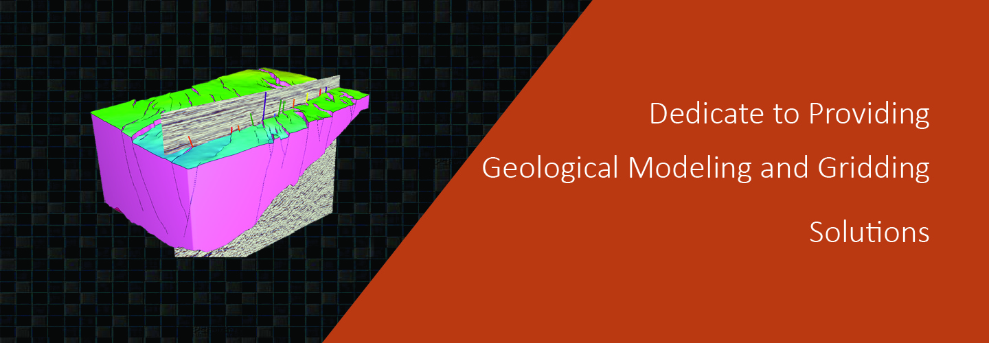
a completely new approach to the science of 3D grid generation and model description solves major weaknesses still inherent in even the most current geomodeling technologies commonly used today.
construct grids of any size and type.No limits.
automation speeds the creation of workflows and results.
much easier to construct accurate representations of complex subsurface geology.
increased productivity for geoscientist due to a short learning curve, saves time and money operational costs, but also in drilling and production costs with a more accurate reservoir description and better analysis and planning.
Geomodeling & Gridding Algorithms
Recently, ranging from the State Council’s Comprehensive Solid Waste Treatment Action Plan to provincial-level green mine development plans across multiple regions
On May 26, the 2026 (20th) Spatial Intelligent Software Technology Conference grandly opened in Beijing. Centered on the theme"Spatial Intelligence & Intelligent Integration", the event was co-hosted by multiple national academic societies